The Brecks Fen Edge and Rivers Landscape Partnership (BFER) began in 2017, and has brought together a host of schemes aiming to conserve Breckland’s natural landscape. As the scheme draws to a close, here’s an overview of the Under the Surface – Discovering Heritage programme.
The Hidden Heritage project explored 500,000 years of geology and archaeology, revealing the role of the Brecks’ unique landscape in shaping prehistoric settlement and development.

Participants attended expert-led day schools featuring flintknapping demonstrations, site visits to places like West Stow and Lynford Hall Pit, and paleolithic archaeology lectures. The first day school focused on Bones and Stones – a morning of palaeolithic archaeology lectures and a museum Palaeolithic material handling session, and an afternoon visiting West Stow, Rampart Field, Barnham, and East Farm Pit culminating in an exhibition of flint knapping by John Lord at Lynford Hall Pit. The second day was for holocene archaeology – Burnt Mounds and Bog Oaks. Exploring a landscape of hunter gatherers using flint tools on sandhills and by rivers where the first farmers used pot boilers (made from heat affected flint). This day school culminated in a trip to a lost lake, complete with shell marl excavation and bog oak piles! “Geology is often overlooked but is key to understanding the prehistoric settlement, history, and development of the landscape,” said Project lead Tim Holt-Wilson.
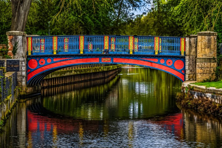
The Tales from the River project brought the Brecks’ waterways to life by collecting oral histories from local people. Volunteers recorded stories that inspired films and exhibitions. Throughout the project, at each event, project lead Imogen Radford took a map of the Brecks with her for people to place stickers on river spots where they swim, walk, fish, canoe, paddleboard and undertake any other river-based recreation. This has now been turned into a digital map.

This collection of stories has been used by the Ancient House Museum’s Teenage History Club to create a film: A Fun History of Thetford’s Rivers, and turned into a travelling exhibition which has popped up all over the Brecks and, most recently, has inspired a tour of storytelling events.
Industrious Rivers delved into the Brecks’ economic history, documenting industrial structures and producing a volunteer researched book on river industries. This project also inspired conservation efforts at sites like Cressingham Mill. Meanwhile, the River Raiders project uncovered the Brecks’ Viking history, with volunteers creating a book and exhibitions exploring events such as the martyrdom of King Edmund and the establishment of Thetford as a town. Following the research, the related exhibition Made by the River was created at Ancient House Museum, which has now been turned into a digital exhibition which you can see on the BFER website.

The Heritage Hotspots project has enhanced sites like RSPB Lakenheath Fen and West Stow Anglo Saxon Village. The Brecks is famous for being remote and ‘off-grid’. As a result, many visitor sites are limited by the type of interpretation they can offer visitors, due to a lack of internet or phone signal. Through this project, four partner sites have installed brand new InfoPoint units. These standalone Wi-Fi transmitters provide visitors with access to specially curated digital content, without the need for data usage or downloading an app. The interpretation offered is also richer than words alone, including videos, audio, images, and guided tours. The BFER website has become a hub for exploring these projects, with resources including films, teaching packs and volunteer blogs.
For more information on the project visit: www.brecks.org.